Quiz challenge
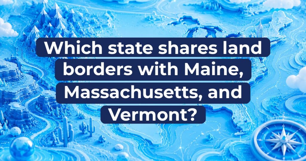
Which state shares land borders with Maine, Massachusetts, and Vermont?
Select an answer to continue.
The correct answer is A) New Hampshire.
The correct answer is New Hampshire.
New England is home to six distinct states tightly packed in the northeastern corner of the United States. Because of its dense regional layout and shared colonial heritage, several New England states share close geographic ties and overlapping land borders. Map enthusiasts and geography lovers often test their memory by identifying how these states align along river valleys, mountain ranges, and ocean coastlines. In this regional geography challenge, the objective is to name the specific state that shares direct terrestrial borders with Maine, Massachusetts, and Vermont.
The correct answer
A) New Hampshire
The correct answer is New Hampshire.
New Hampshire sits right in the central portion of northern New England, making it the only state that touches Maine, Massachusetts, and Vermont. To its east lies Maine along a border that follows the Piscataqua and Salmon Falls Rivers before cutting straight north to the Canadian boundary. To its south, New Hampshire shares a straight land border with the Commonwealth of Massachusetts. To its west, the Connecticut River serves as the physical border separating New Hampshire from Vermont. In addition to these three U.S. state boundaries, New Hampshire also shares an international border with the Canadian province of Quebec to its far north, as well as a short shoreline along the Atlantic Ocean in the southeast.
More context
The geographic boundaries of New Hampshire reflect a fascinating history of colonial charters, royal decrees, and natural water systems. During the colonial era, territorial disputes were common among eastern settlements. The western boundary between New Hampshire and Vermont was defined by the western bank of the Connecticut River, a legal standard set by the British Crown in the eighteenth century that remains in effect today. The southern border with Massachusetts was resolved after decades of debate regarding navigation rights along the Merrimack River. Meanwhile, the eastern line dividing New Hampshire from Maine relies partly on riverways and partly on surveyed land coordinates. Beyond its terrestrial connections, New Hampshire boasts the shortest ocean coastline of any coastal state in the nation, measuring roughly eighteen miles along the Atlantic. Its central location makes it a critical transit corridor connecting coastal Atlantic trade with interior northern regions.
Quick facts
- New Hampshire holds the unique distinction of being the only U.S. state that borders Maine.
- The entire western land border of New Hampshire with Vermont is formed by the Connecticut River.
- New Hampshire features the shortest coastline of any ocean-front state, stretching just eighteen miles along the Atlantic shore.
- Mount Washington, located in New Hampshire, is the highest peak in the northeastern United States at 6,288 feet above sea level.
Sources
- New Hampshire Guide — U.S. Census Bureau New Hampshire shares land borders with Maine, Massachusetts, and Vermont, as well as an international border with Canada.
- Fast Facts about New Hampshire — State of New Hampshire New Hampshire is bordered by Maine, Massachusetts, and Vermont, and features the Connecticut River as its western boundary.
- New Hampshire Geography and State Profile — Encyclopædia Britannica New Hampshire is bordered by Quebec to the north, Maine and the Atlantic Ocean to the east, Massachusetts to the south, and Vermont to the west.