Quiz challenge
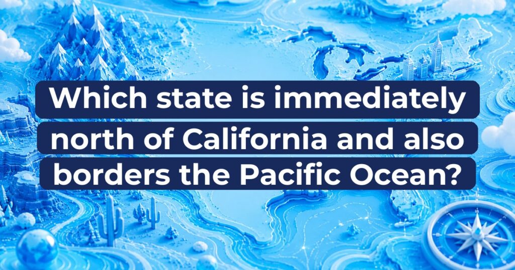
Which state is immediately north of California and also borders the Pacific Ocean?
Select an answer to continue.
The correct answer is B) Oregon.
Oregon is the state located directly north of California that also borders the Pacific Ocean along its entire western coastline.
Understanding West Coast geography requires a quick look at the coastal states that line the western edge of the contiguous United States. Four states lie along or near the Pacific coastline, but only three have direct coastal boundaries, and their north-to-south orientation is crucial to getting US geography trivia right. If you travel directly north from California along the coastline, you cross a famous east-west border along the 42nd parallel north. Can you identify which West Coast state occupies this position?
The correct answer
B) Oregon
Oregon is the state located directly north of California that also borders the Pacific Ocean along its entire western coastline.
The correct answer is Oregon. Oregon sits immediately north of California, sharing a 214-mile land border that runs along the 42nd parallel north. Its entire western edge faces the Pacific Ocean, creating roughly 363 miles of dramatic coastline featuring sea stacks, sandy beaches, and rugged headlands. The boundary between California and Oregon was established historically by treaty and spans from the Pacific coastline eastward across mountain ranges like the Klamath Mountains and the Cascade Range. Oregon is one of only three contiguous US states bordering the Pacific Ocean, situated directly between California to the south and Washington state to the north, making it the definitive geographic answer to this coastal question.
More context
The geographic alignment of the US West Coast was shaped by nineteenth-century geopolitical treaties. The border between Oregon and California at the 42nd parallel north originated in the Adams-Onis Treaty of 1819 between the United States and Spain. This treaty established the northern limit of Spanish claims in North America, which later became the boundary of Mexican territory and eventually California. When Oregon became the 33rd US state in 1859, this line remained its southern boundary. Oregon features a coastline regulated under state law by the landmark 1967 Oregon Beach Bill, which guarantees public access to all ocean beaches from the low-water mark to the vegetation line. Geographic landmarks along the Oregon-California border include the Siskiyou Mountains and the coastal redwood transition zone.
Quick facts
- Oregon has approximately 363 miles of coastline along the Pacific Ocean.
- The 42nd parallel north serves as the official state line separating Oregon and California.
- Only three contiguous states border the Pacific Ocean: California, Oregon, and Washington.
- Oregon became the 33rd state admitted to the United States on February 14, 1859.
Sources
- California State Geographic Profile — U.S. Census Bureau California shares its northern border with Oregon.
- Oregon Coastal Management Program Boundary Description — Oregon Department of Land Conservation and Development Oregon's coastal zone stretches along the Pacific Ocean from the Washington border on the north to the California border on the south.